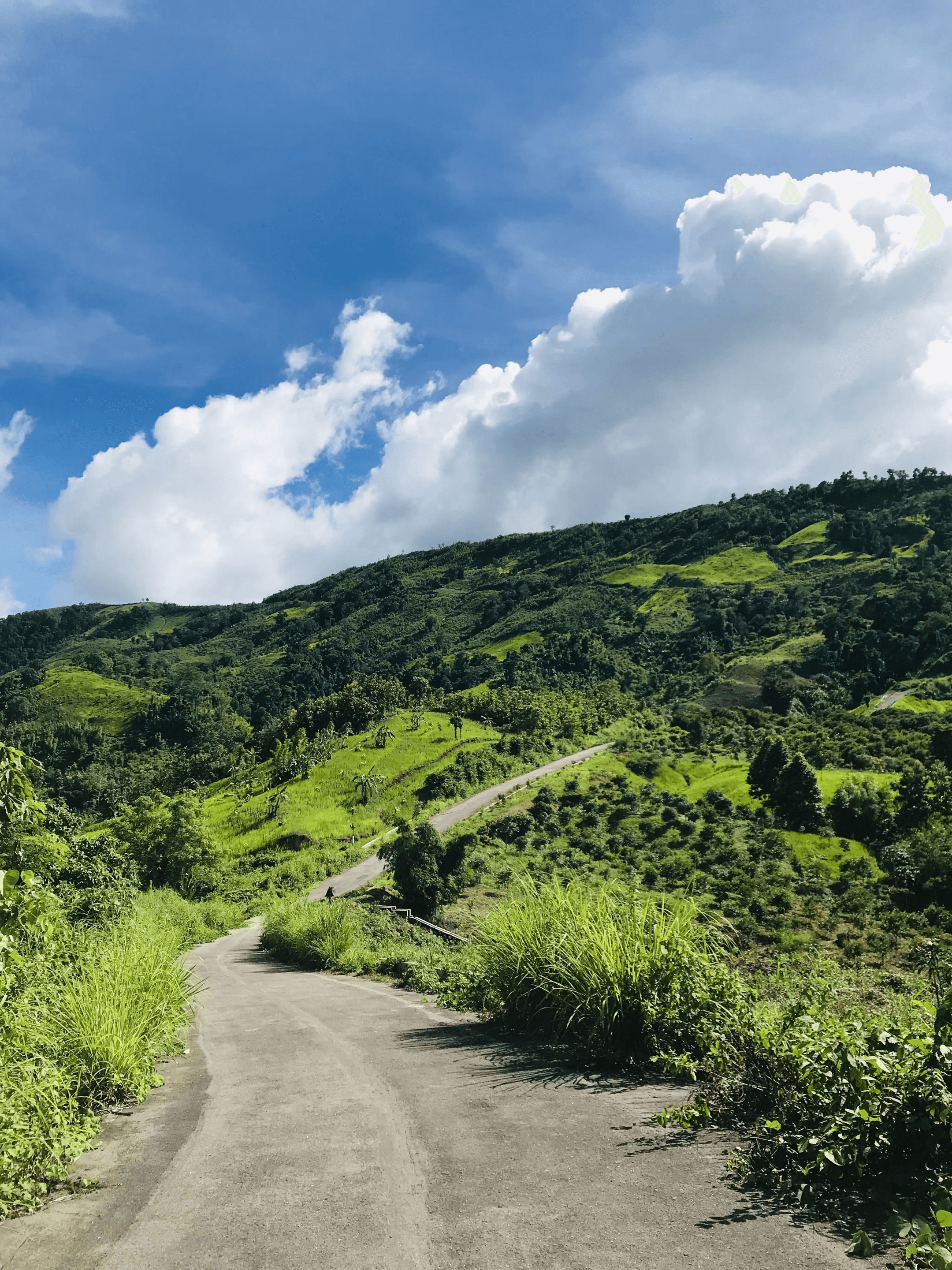


Helping Hikers Discover Bangladesh, One Trail at a Time.
Hike Bangla started as a simple idea: make it easier to find accurate, up-to-date information about the country's hiking trails. What began as a small collection of routes has grown into a resource hikers use to plan their next adventure across the hills of Bandarban, Sylhet, and beyond.
Why We Started
Trail Information You Can Actually Trust
Most hikers in Bangladesh have run into the same problem — trail information that's outdated, scattered across forums, or missing entirely. We built Hike Bangla to fix that: one place with verified routes, difficulty ratings, and real trail conditions, so you can plan a hike with confidence instead of guesswork.

How It Works
Everything You Need Before You Go
Every route on Hike Bangla is documented with distance, elevation, estimated duration, and a day-by-day itinerary where it's useful. Filter by destination, trail length, or elevation gain to find a route that matches your experience.
We're continuing to expand our coverage across Bangladesh's hill districts, working from real trail data rather than guesswork.
120+
Hiking routes to discover
20+
Destinations across Bangladesh
100+
Routes mapped in detail
99%
Trail information accuracy
Ready to find your next trail?
Browse the full route library or get in touch if you have a trail to share.