

How to Read a Trail Map.
5 min read
August 1, 2026
Maps Are Safety Tools, Not Souvenirs
A trail map that you don't know how to use is a comfort object, not a safety tool. Understanding what a map is telling you — in terms of terrain, gradient, distance, and navigation — transforms it from a decorative addition to a genuinely useful asset on the trail.
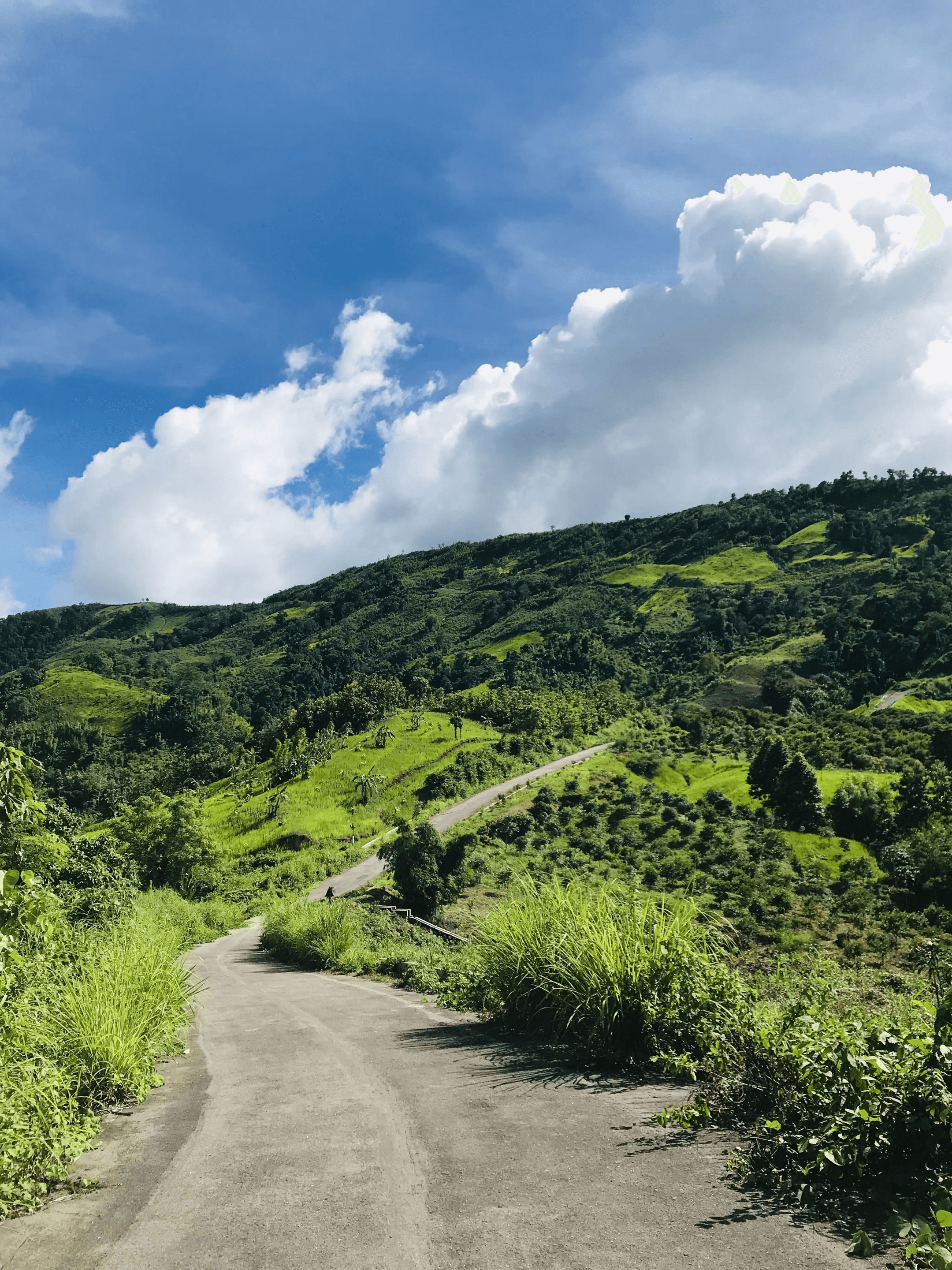
Bangladesh's hill trails aren't universally signposted. At junctions without markers, a map is the only reliable way to confirm you're on the right route. Getting this wrong in the Bandarban backcountry costs hours and potentially your safety.
Contour Lines: Reading Gradient
Contour lines connect points of equal elevation on a map. Lines that are close together represent steep terrain; widely spaced lines mean gentle gradient. Circular contour patterns indicate a hill or depression — which one depends on whether the numbers increase or decrease toward the centre.
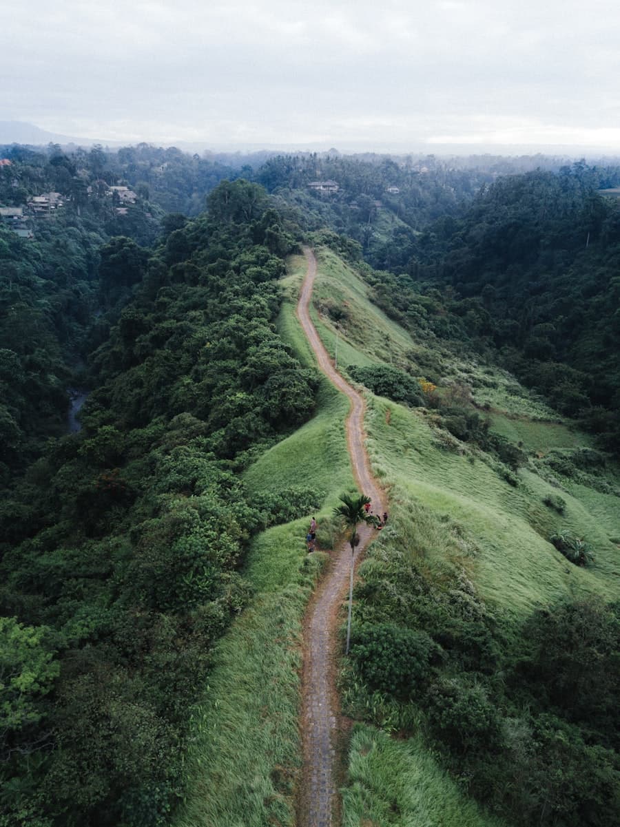
Before hiking a new route, read the contour pattern of the trail. Where are the steep sections? Where are the ridgelines? Where might the trail be exposed to wind or prone to waterlogging? The map answers all these questions before you encounter them on foot.
Using Digital Maps on Trail
Apps like Maps.me and OrganicMaps download topographic maps for offline use and provide GPS positioning without mobile signal. Download the map for your region before departure — this is a step that cannot be done in the field.
Calibrate your sense of distance on a trail against the map. 1 km on flat terrain takes roughly 12–15 minutes. 1 km on steep terrain with significant elevation gain takes 30–45 minutes. Use these ratios to estimate your progress and arrival times throughout the day.
What to Do When You're Lost
Stop moving. Continuing when you're uncertain of your location compounds the problem. Sit down, retrieve your map and GPS position, and identify landmarks you can see that also appear on the map.
Return to the last known point. If you can't confidently identify your position, retrace your steps to the last place where you were certain. This feels counterproductive but is the surest route to getting back on track.
Signal if necessary. Three whistle blasts, a bright marker in a clearing, or an SMS with your GPS coordinates to someone who knows your route are all effective ways to initiate rescue. Don't wait until you're exhausted to signal — do it while you still have the energy to help your own rescue.
Share: